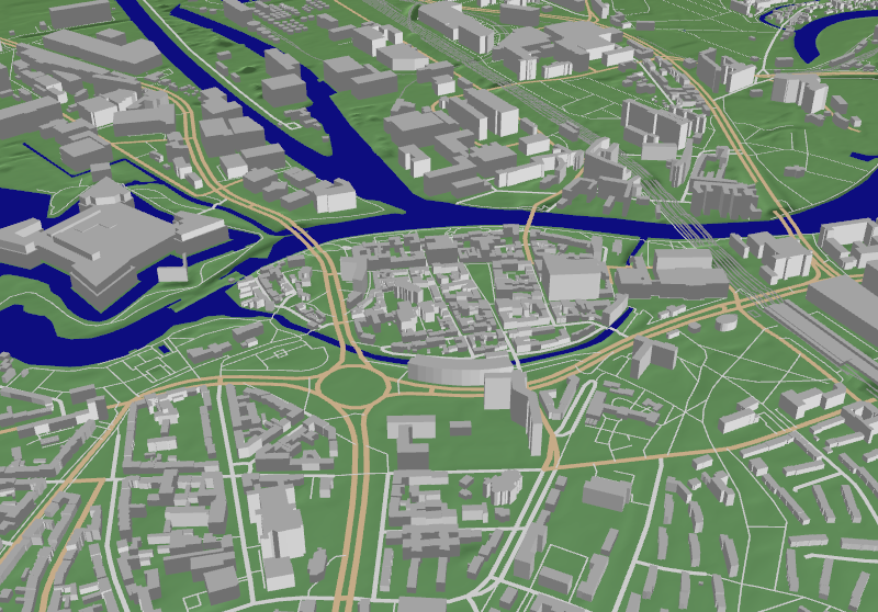
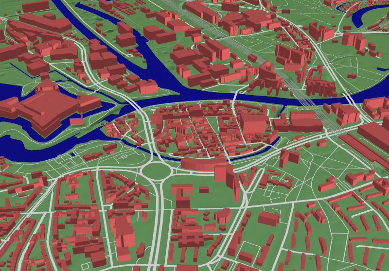
Render OpenStreetMap data
Visualisation included all sorts of highways, streets, paths, railways and streetcars. Buildings included Building height.
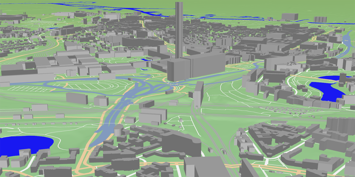
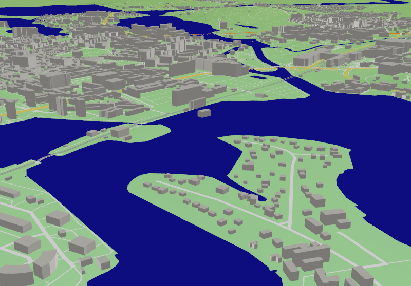
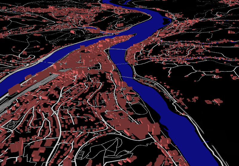
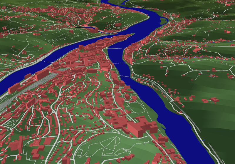
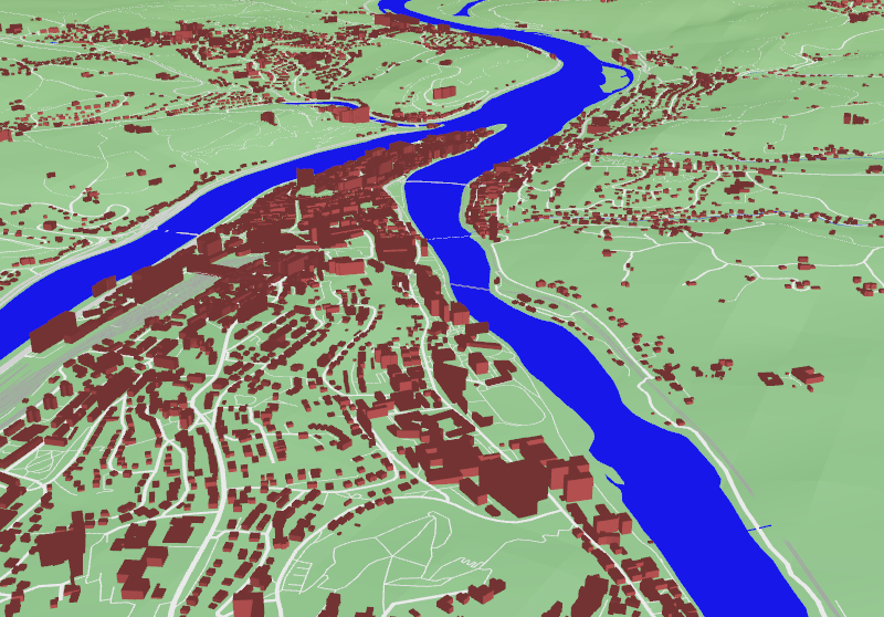
Combine OpenStreetMap Data with terrain data
Terrain renderer used osgEarth to render GeoTIFF based data.
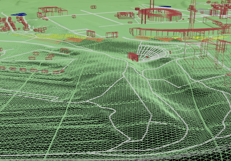

Massive amount of data (Out-of-Core Rendering)
Load large OpenStreetMap data file. Like the whole City of Berlin.
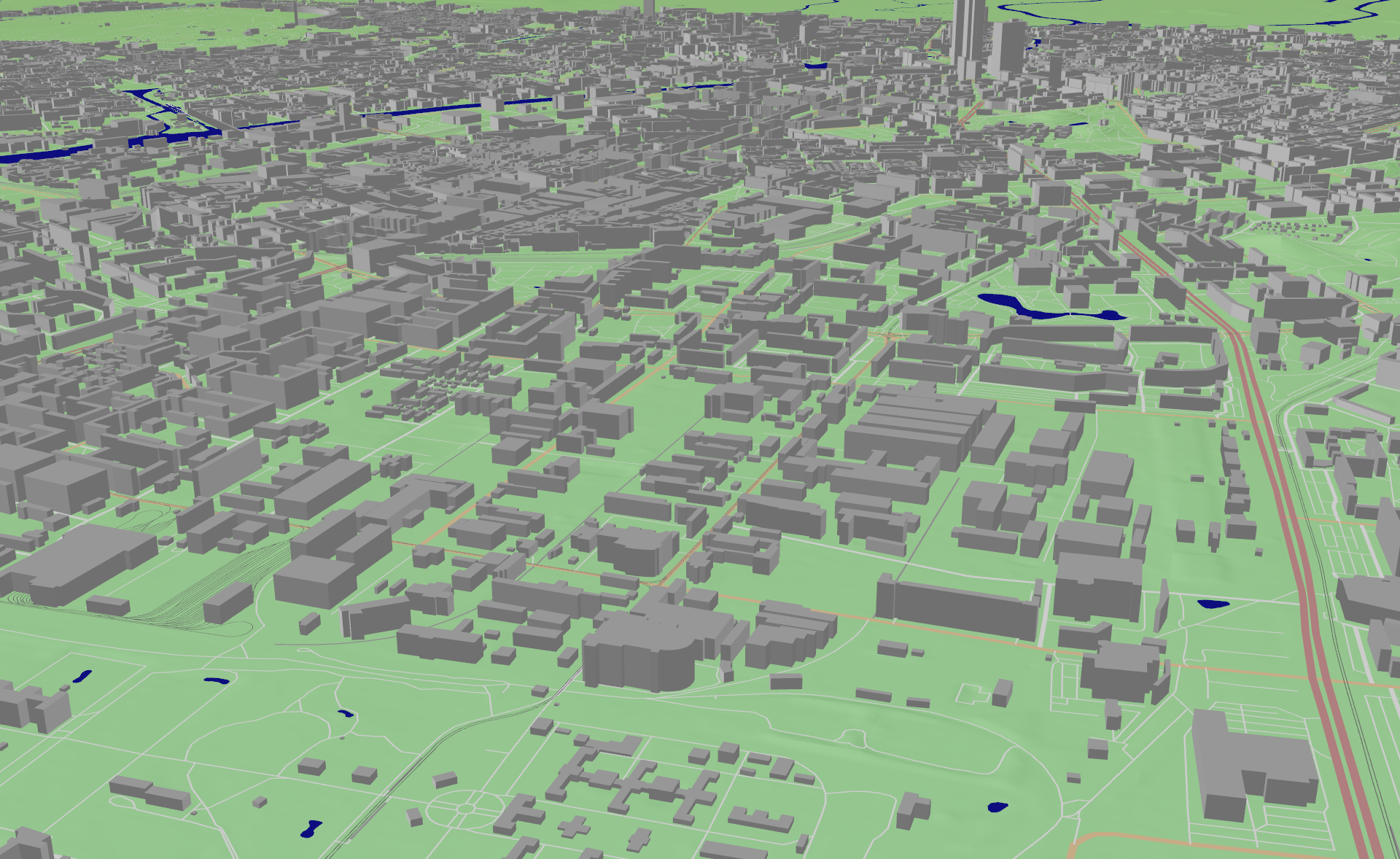

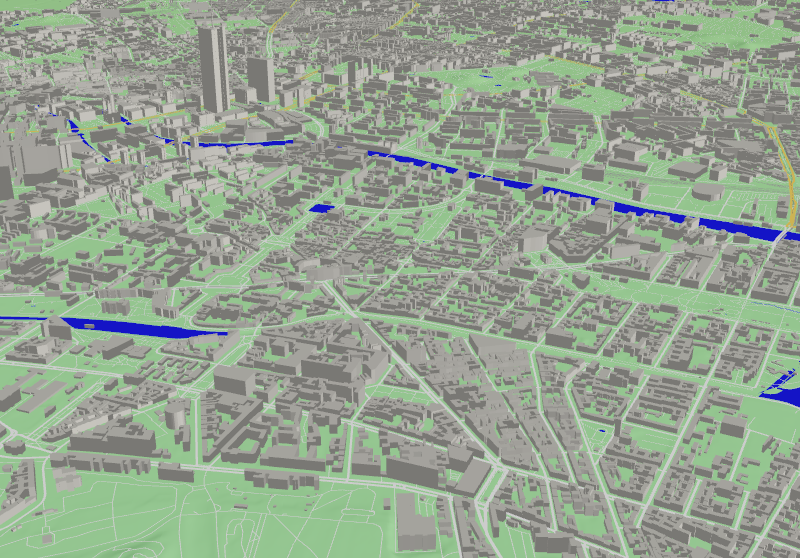
Water areas
Visualisation included water areas like lakes, rivers and streams.

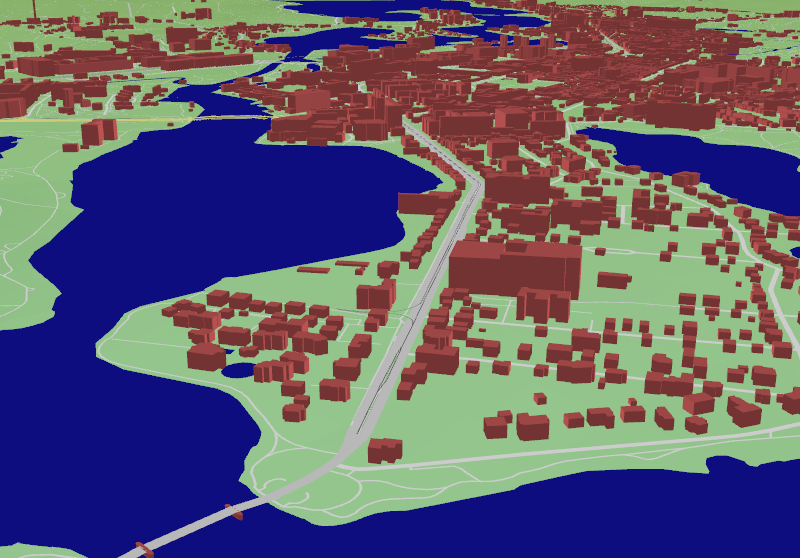
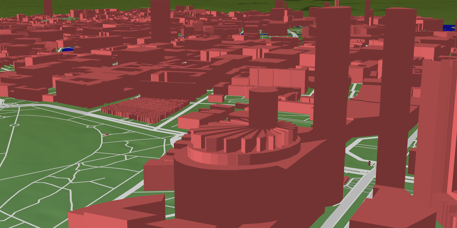
Color Scheme
Render different map styles.

Times of day
Simulated varies times of day.
Preview Videos
Watch small resolution demo videos.